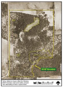
Geology. A good start is geology. The sand and sandstone throughout the preserve is a legacy of the Woodbine Group Formation, a former inland sea, that covered this area roughly 93 million years ago. This left a sandstone foundation and the enormous aquifer in the preserve, which feeds perpetual springs to the Main Pond and additional seeps and muddy patches after rainy periods. Other soils include a clay layer where sand has washed away.
Human impact. Man’s impact on the local ecology was minimal for many centuries. Hunter-gatherers during the pre-history period 500 BC to 1700 AD have been documented at two nearby University of Texas at Arlington digs in Kennedale. Population density during this period has been estimated at only 1 person per square mile. Views from atop Kennedale Mountain made it an ideal lookout for the first Americans, wary of rival tribes and later Europeans.
First agriculture. Native American tribes (Caddo and many others) were driven from their East Texas farms and villages circa 1830. They cleared 300 acres in the Village Creek bottomlands nearby to grow corn, beans and pumpkins. Maybe 3,000 native American refugees lived in 225 lodges along the creek. These tribes were expelled by Republic of Texas Rangers in 1841 to protect land speculators (and Texas Revolution veterans awarded land grants in Tarrant County for their service) who slowly began moving into Tarrant County after the Texas Revolution of 1836.
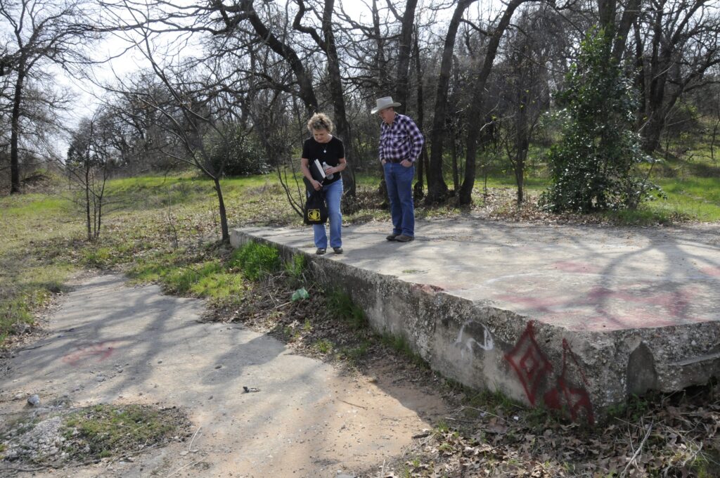
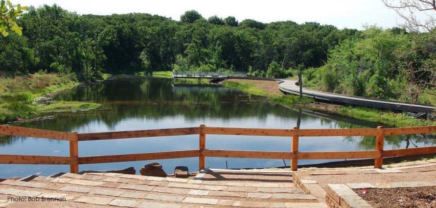
Man’s heavy impact begins. European farming on the preserve probably began around Civil War times in the 1860s. Cotton farming likely exhausted and eroded away the rich soils. This final straw of land mismanagement left behind a subsurface clay layer unsuitable for anything but cattle grazing for most of the 20th century. In the early 1950s John (Juan) Human Wilson II began a modern ranching operation. He built all of the preserve’s ponds to keep his stock watered during the lengthy drought of the 1950s. Wilson brought in coastal Bermuda, a non-native species, to improve the pastures. Property passed to Paul and Obie Leonard in 1972. They broke off a section of the property to sell to housing developers Bill and Rosa Fagan. The Fagans developed housing on the eastern and southern borders of the preserve. They moved a home onto the preserve overlooking the Main Pond circa 1982.

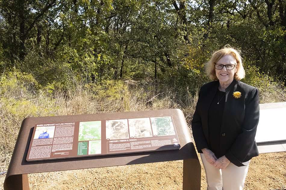
Rescued. Fearing the Fagans would develop the last 58 acres into housing, local residents worked to encourage the non-profit Trust for Public Land to purchase the tract in 2004. The trust held it until the city of Arlington could hold a bond election and purchase the property. Voters approved a $13.6 million bond package to buy and develop the property as a low-impact park in 2005. It opened to the public Oct. 19, 2013. It was renamed the Sheri Capehart Nature Preserve in 2021 to honor the longtime Arlington City Councilmember whose passion for the environment was instrumental in rescuing the property for posterity.